


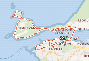
Le Conquet Pt. de Kermovan

rigol05
User

Length
8.2 km

Max alt
31 m

Uphill gradient
111 m
Km-Effort
9.7 km

Min alt
0 m

Downhill gradient
113 m
Boucle
Yes
Creation date :
2019-10-07 08:31:17.784
Updated on :
2019-10-07 08:31:17.784
--
Difficulty : Unknown

FREE GPS app for hiking
 SityTrail
IGN / Geographical institutes
SityTrail Plus
The world is yours!
About
Trail On foot of 8.2 km to be discovered at Brittany, Finistère, Le Conquet. This trail is proposed by rigol05.
Positioning
Country:
France
Region :
Brittany
Department/Province :
Finistère
Municipality :
Le Conquet
Location:
Unknown
Start:(Dec)
Start:(UTM)
368882 ; 5357893 (30U) N.
Comments